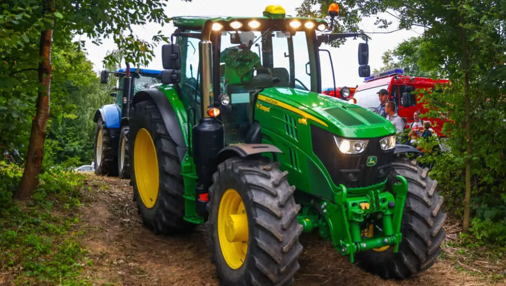
John Deere is looking for a satellite partner to create a map for farmers to track productivity.
Key Details
- The world’s largest agriculture equipment manufacturer John Deere is in the process of securing a satellite partner.
- The agriculture giant is hoping to make a satellite to create a map that farmers can use to track productivity and crop performance.
- John Deere has many farming vehicles that collect data for farmers to use, and with a satellite, all the data can be connected, and it allows the vehicles to be connected to service even in rural areas.
Why it’s news
John Deere is continuously creating devices to help make farming easier and more efficient. The newest technology on the list is satellites.
The agriculture giant is looking to partner with a satellite company to bring services to farmers everywhere, and the company is close to finalizing a deal.
Farmers can currently collect data from John Deere’s See & Spray vehicles as well as others to track productivity and performance of crops, but most of these vehicles have to be connected to cellular service to collect the data.
Many farms are located in highly rural areas with little to no cellular service making it hard for the vehicles to collect the needed data—that’s where the satellites will come in handy.
The sattelittles will allow farmers to connect the vehicles easier with satellite service rather than cellular. The company also wants to use the satellites to create a map to let farmers know what areas still need to be tended.
“We really have been focused on trying to solve connectivity, globally. We look at the burgeoning efforts that are happening in low Earth orbit satellites as an example—potentially—for us to start to solve some those connectivity issues,” says Deere’s Chief Technology Officer Jahmy Hindman.
